
thinkSmarter
Unrivalled location expertise
Our groundMapper product is the portal that lets you view, query and work with all your location data, both in-house and from third parties like Ordnance Survey. Interactive and up-to-date, your geospatial data comes to life: view hundreds of different overlays, and drill down to see details like drawings, reports and images.
Project templates for forestry, infrastructure and construction support your industry-specific workflows. Quickly and easily produce reports for progress and compliance audits.

Get a definitive view of land and property information

Share location information securely with staff and stakeholders

Manage multiple projects from one, mobile-friendly web interface
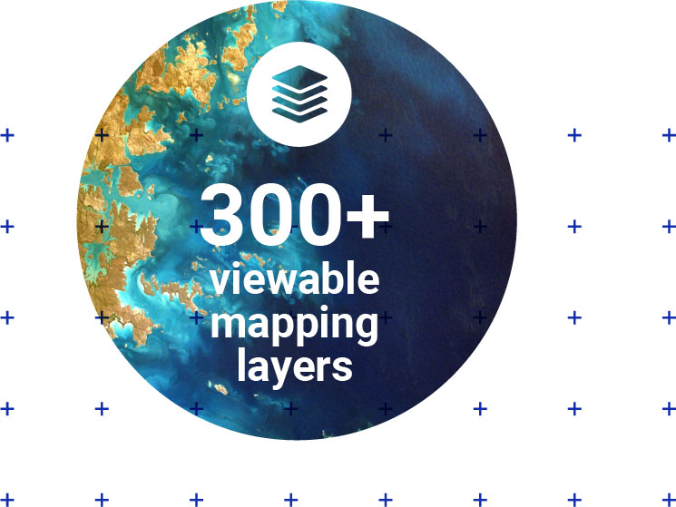
is our database platform that sources and continually refreshes over 300 third-party datasets, providing rich context to areas of interest, like environmental constraints and designations, historic features, flooding and forestry. theMapCloud lets you draw geospatial data directly into desktop applications or create brand new services that leverage location intelligence.

Disseminate high-quality map and addressing data to staff and stakeholders

Fuel your innovation by using our up-to-date location data to create new services