Connecting people,
places and projects

Bring location data to life
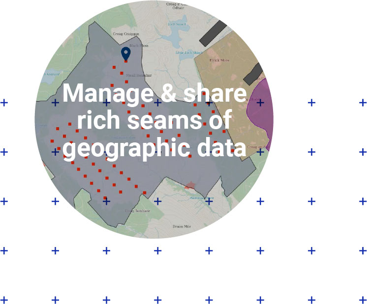
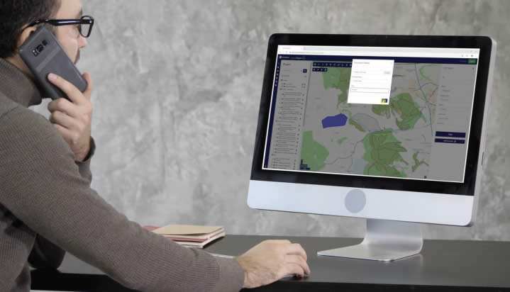
groundMapper lets you view, query and work with all location data, both in-house and from third parties like Ordnance Survey, Environment Agency and Forestry Commission. Interactive and up-to-date, your location data comes to life: view hundreds of different overlays, and drill down to see details like drawings, reports and images.
Streamlined processes for business agility
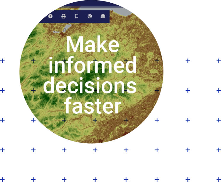
An agile business can’t sustain costly desktop systems, manual updates, paper-based maps or information silos. groundMapper makes geographic intelligence easier to understand, simplifies complex project management and accelerates collective decisions. You save time, money and resources – and see greater business success.
Ready to support your workflows
Take advantage of client-specific project templates ideal for your workflows. Progress and audit reports are faster and easier to produce, and live data views are always available to add context.


Get a definitive view of land and property information

Share location information securely with staff and external stakeholders


